


la feclaz

laurentnecca
User


Length
9.1 km

Max alt
1528 m

Uphill gradient
314 m
Km-Effort
13.3 km

Min alt
1286 m

Downhill gradient
317 m
Boucle
Yes
Creation date :
2020-01-16 10:20:45.765
Updated on :
2020-01-16 15:43:14.692
2h54
Difficulty : Medium

FREE GPS app for hiking
 SityTrail
IGN / Geographical institutes
SityTrail Plus
The world is yours!
About
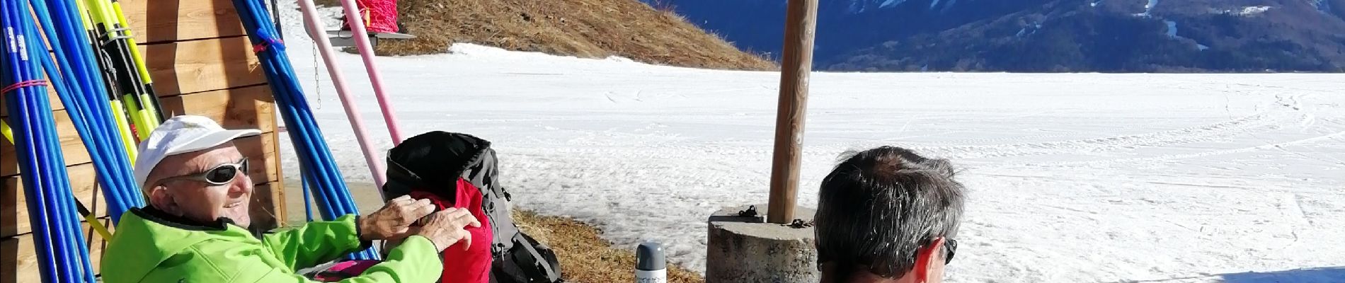
Trail Walking of 9.1 km to be discovered at Auvergne-Rhône-Alpes, Savoy, Les Déserts. This trail is proposed by laurentnecca.
Photos


Positioning
Country:
France
Region :
Auvergne-Rhône-Alpes
Department/Province :
Savoy
Municipality :
Les Déserts
Location:
Unknown
Start:(Dec)
Start:(UTM)
732732 ; 5059135 (31T) N.
Comments